

Hours: 8 a.m.-Sunset (?), Daily
With almost half million visitors each year, this is one of the most popular parks in the Lorain County Metro Park system. The most notable feature is the Bridgeway Trail and the Steel Mill Trail. They total 5.5 miles of paved all-purpose trail that follows the Black River through its meanderings from Elyria to Lorain, spanning four city jurisdictions altogether. The reservation also features three separate picnic areas: High Meadows, Bur Oak and Day's Dam, each contributing its own special character to the variety and natural beauty of this impressive park.

HIGHLIGHTS
The Bridgeway Trail: Any Way You Like To Move
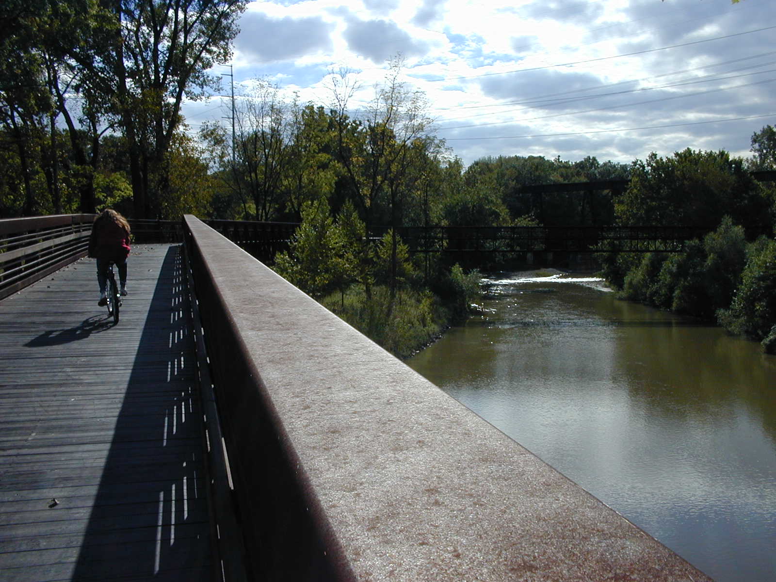
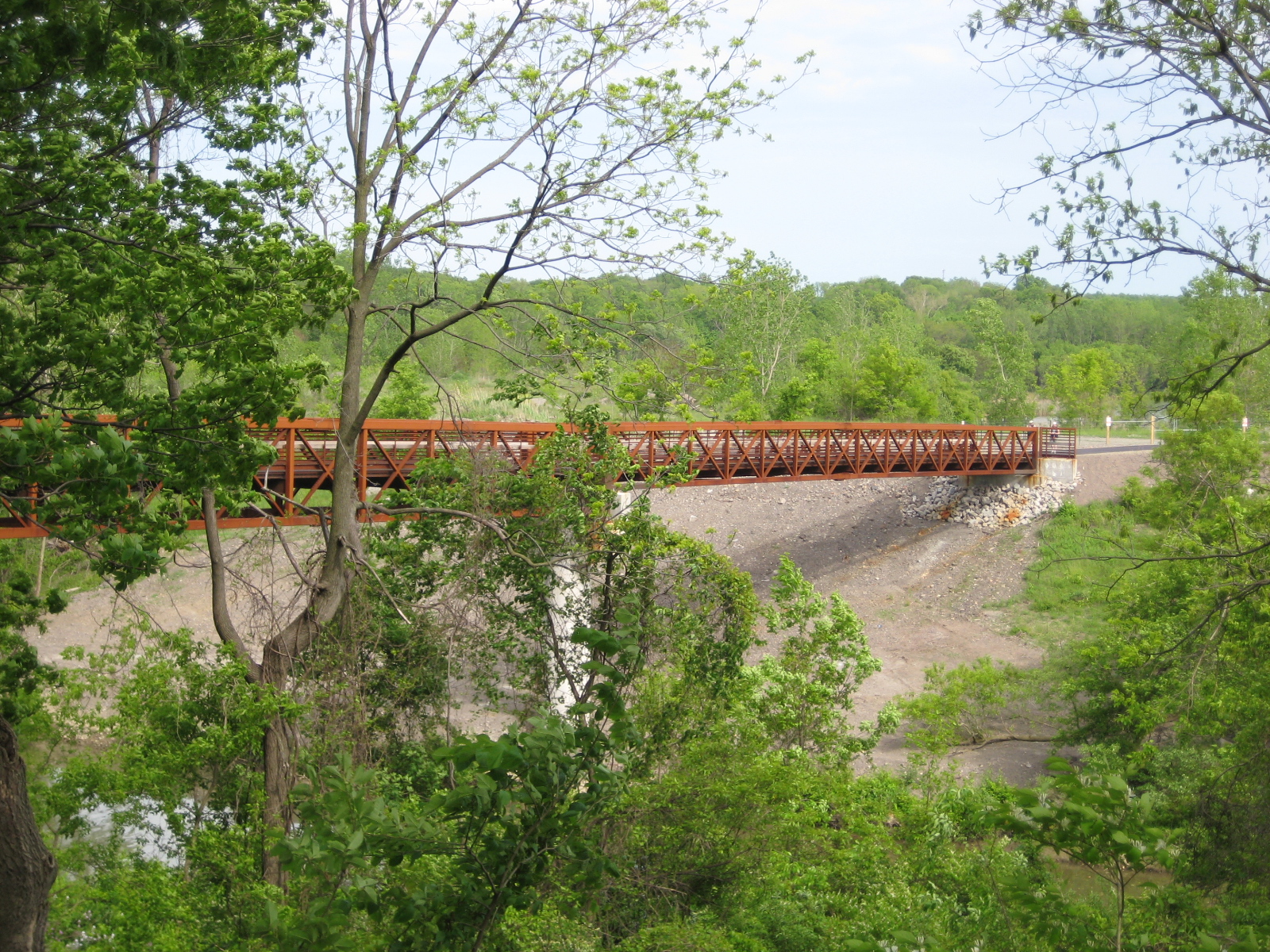
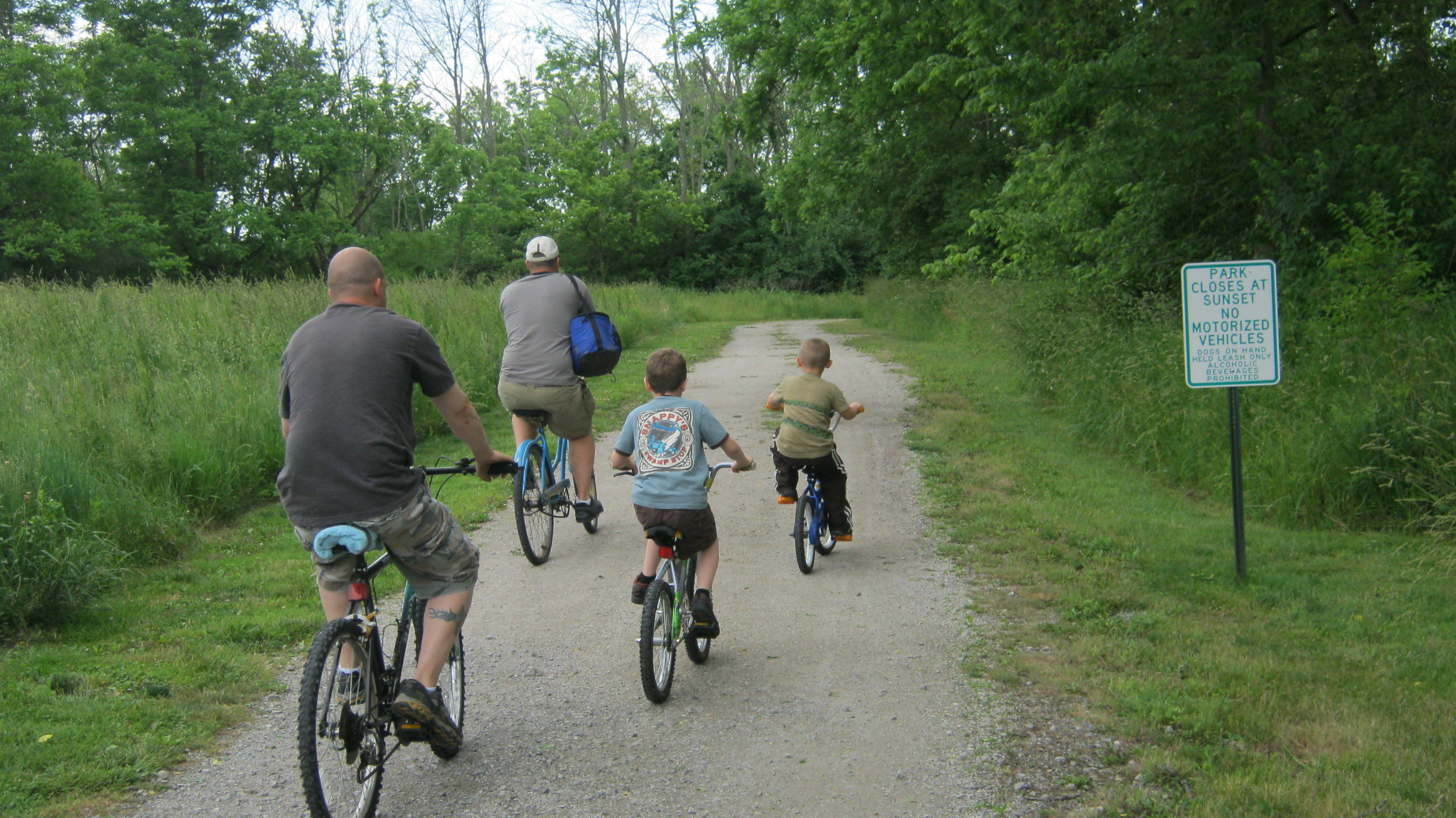
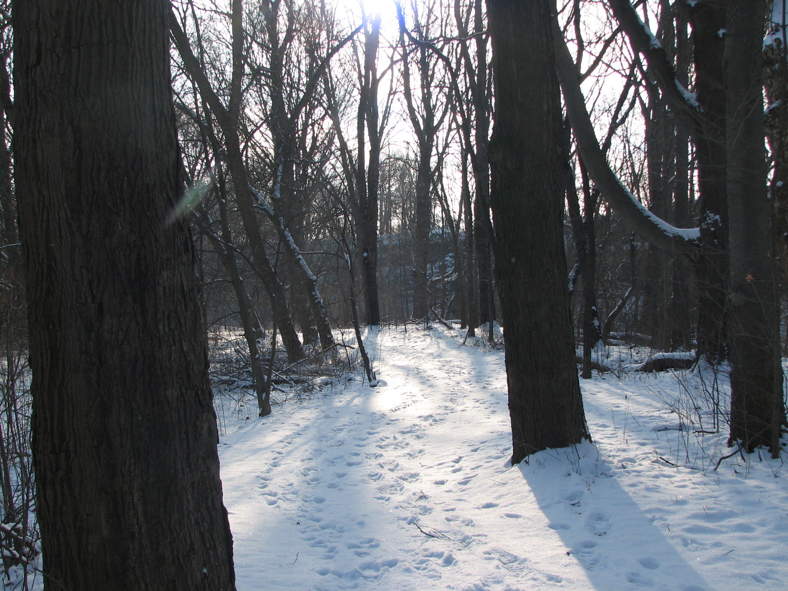
If you like walking, running, rollerblading, cross-country skiing, or any kind of non-motorized movement, you'll love the Bridgeway Trail. Starting at Day's Dam in Lorain and ending at the High Meadows picnic area in Elyria, this expansive 4.5-mile trail is the most popular in the park system and offers something for everyone with exercise, fresh air and natural beauty in mind. You'll pass through meadows and forest groves, under bridges and over the treetops on a 1000-foot bridge that crosses the river in two places.
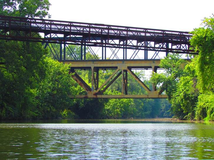
This bridge is the highlight of the Bridgeway Trail and offers captivating views of the river, a scenic railway bridge, shale cliffs on one side and an expanse of bottom-lands on the other. Just north of the bridge is the tram turnaround with several picnic tables and a small shelter—a great place to rest and have a snack. All along the trail you'll find interpretive sites that elaborate on the natural highlights of the area and offer a richer understanding of the world around you.
The Steel Mill Trail
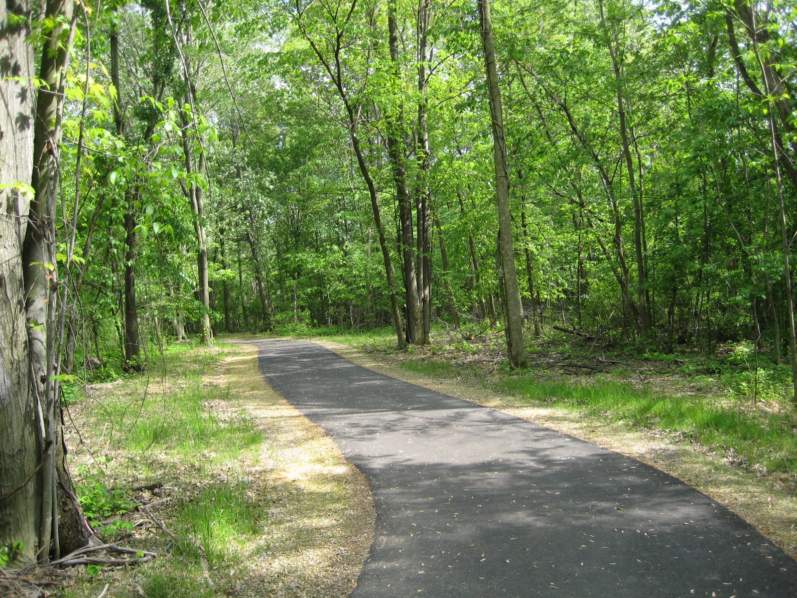
When the Bridgeway Trail opened in 1993, the Metro Parks had a vision of extending the trail further north. This became a reality in 2008 as the Steel Mill Trail Extension was opened. The trail connects to the Bridgeway Trail at Days Dam Picnic Area and continues north through the slag fields of the U.S. Steel Mill to Colorado Ave in Lorain. The trail is about 2 miles long and crosses the Black River and French Creek. As you walk, bike or run along the trail the steel mill and slag fields are to one side and the natural landscape is to the other side.
Try A Tram
For those unable to walk the trail themselves, the Day's Dam area offers a tram service that will take groups half the way down the trail and back again. It is also available to explore the Steel Mill Trail. It's a great way to see the changing landscape and hear a bit of the fascinating history behind this reservation.
THREE PICNIC AREAS TO CHOOSE FROM
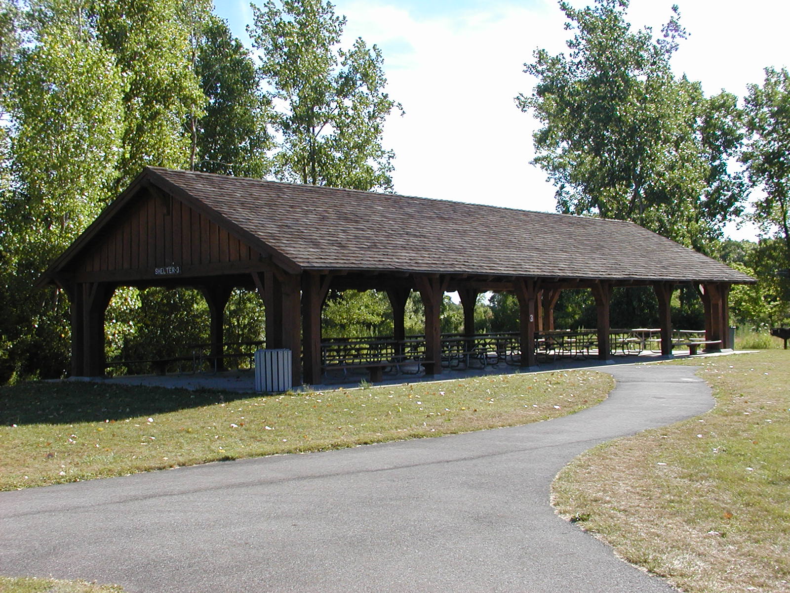
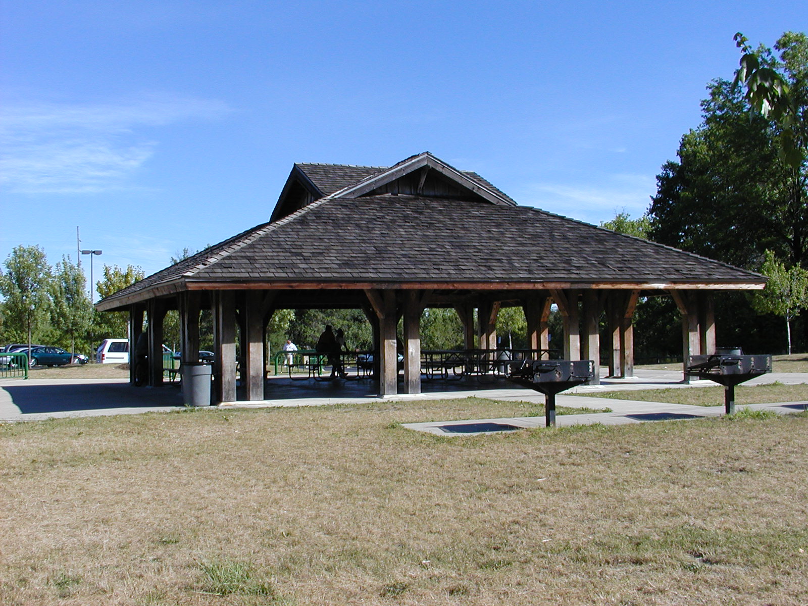
The Black River Reservation features three separate picnic areas: High Meadows, Bur Oak and Day's Dam. All three offer reservable shelters, picnic areas and restrooms, with individual features of their own.
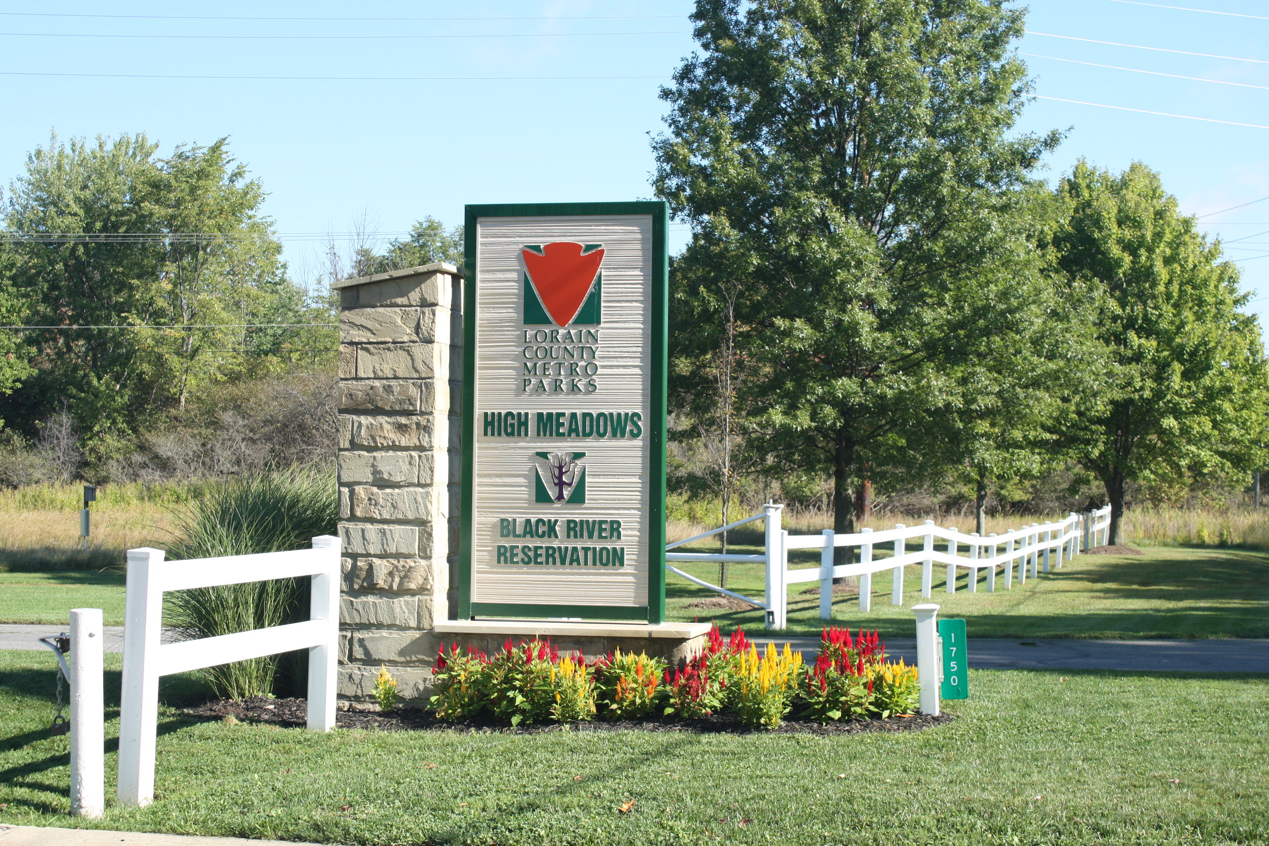
High Meadows
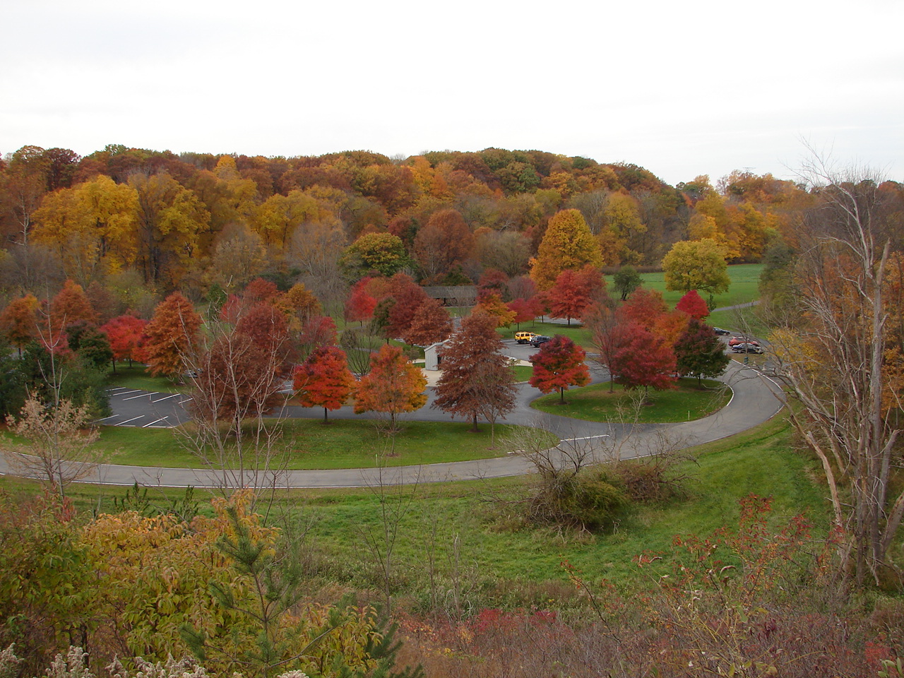
High Meadows picnic area lies at the southern tip of the reservation in Elyria and is connected to Bur Oak by the Bridgeway Trail. With three reservable shelters, a playground and sand volleyball court with lots of open space, it's a great place for young and old to spend a little time on the green grass and in the open air. High Meadows is located just south of Bur Oak along Ford Road.
Bur Oak
Bur Oak is the middle picnic area along the Bridgeway Trail, with plenty of parking for its many visitors. You can take the loop trail for a short walk along the river and re-growth meadow where butterflies and eastern bluebirds have recently been calling home. You don't need to walk the Bridgeway Trail to enjoy yourselves here. The area includes two reservable picnic shelters and plenty of open space to throw a Frisbee.
Day's Dam
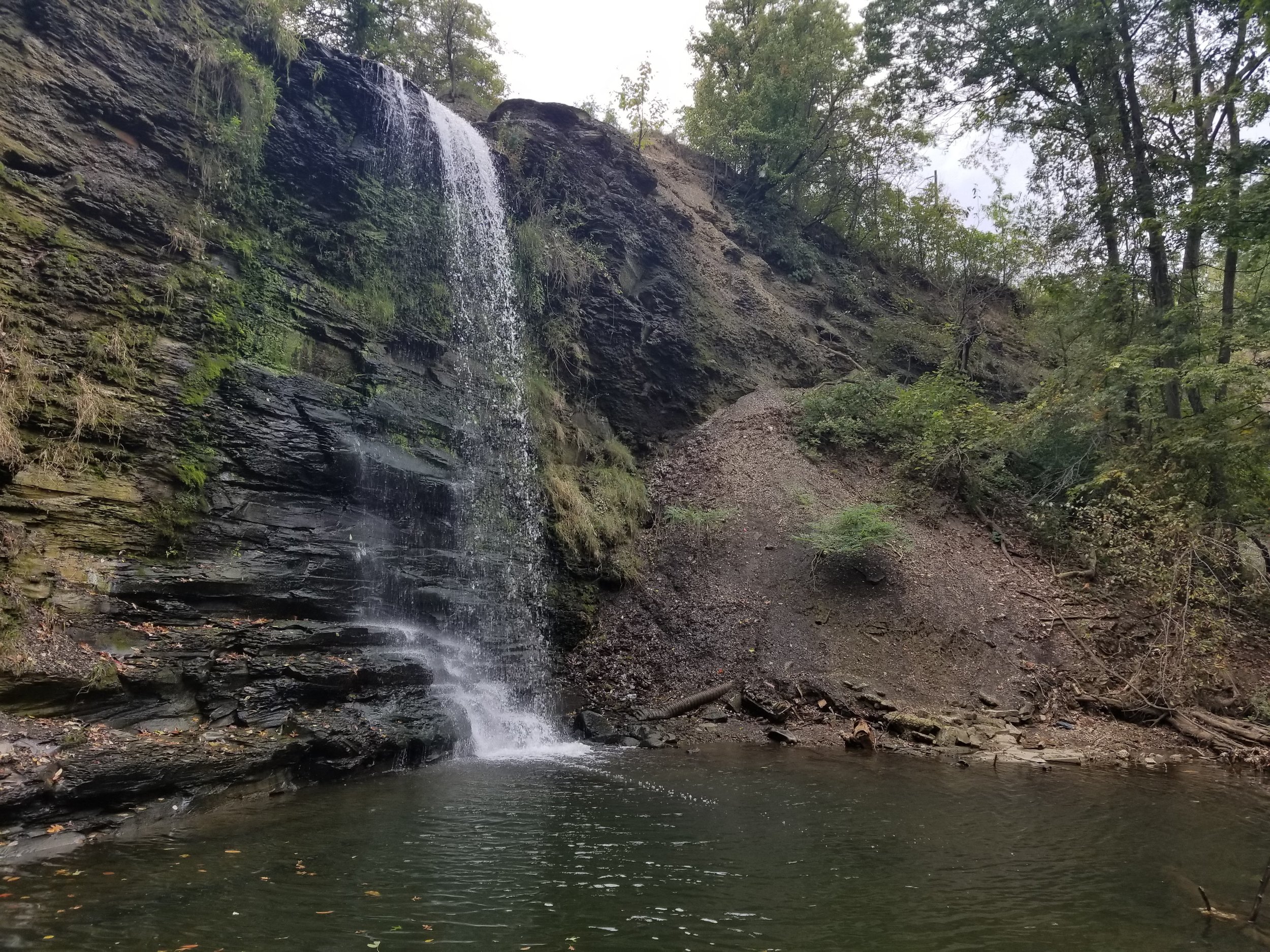
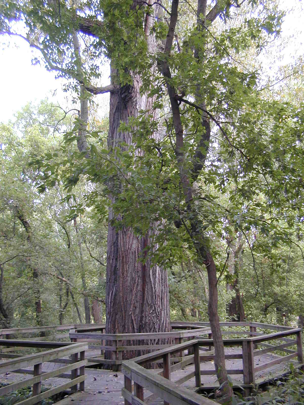
Besides being the connecting point for the Bridgeway Trail and Steel Mill Trail, Day's Dam at 31st Street in Lorain also features a large reservable shelter, picnic tables and a modern play set for the kids. It's also the starting place for the tram service, which is reservable for groups any time during the week. If you take the Bridgeway Trail you might want to check out two scenic loop trails along the way: the Cottonwood Trail takes you to what might be the largest and oldest tree in Lorain County, and the Waterfall Trail gives you a glimpse of a year-round waterfall we'll bet you never knew was there.
NATURAL HISTORY
Bringing Back the Meadows
The Black River Reservation features a variety of habitats, but most unique are the re-growth meadow areas. Just south of the Day's Dam picnic area lies a basin that was once under water (under the Day's Dam reservoir) and is slowly growing back to its natural state. The meadow areas are burned each spring to encourage the re-growth of native prairie grasses such as big bluestem (also known as Turkey Foot), switchgrass and Indian grass. Periodic fires stimulate growth for these and other native species, giving them an advantage over non-native, invasive species. If you look around, you'll find areas of big bluestem growing larger each year.
Some of the wildflowers that might catch your eye include ironweed, wingstem, Joe Pye Weed, hockweed and chicory (to name only a few!) Dame's Rocket (pictured) is a member of the mustard family and common throughout the reservation and northeast Ohio as well. Members of the mustard family (or cruciferae which is Latin for "cross") share a cross-like arrangement of four petals as a common characteristic.
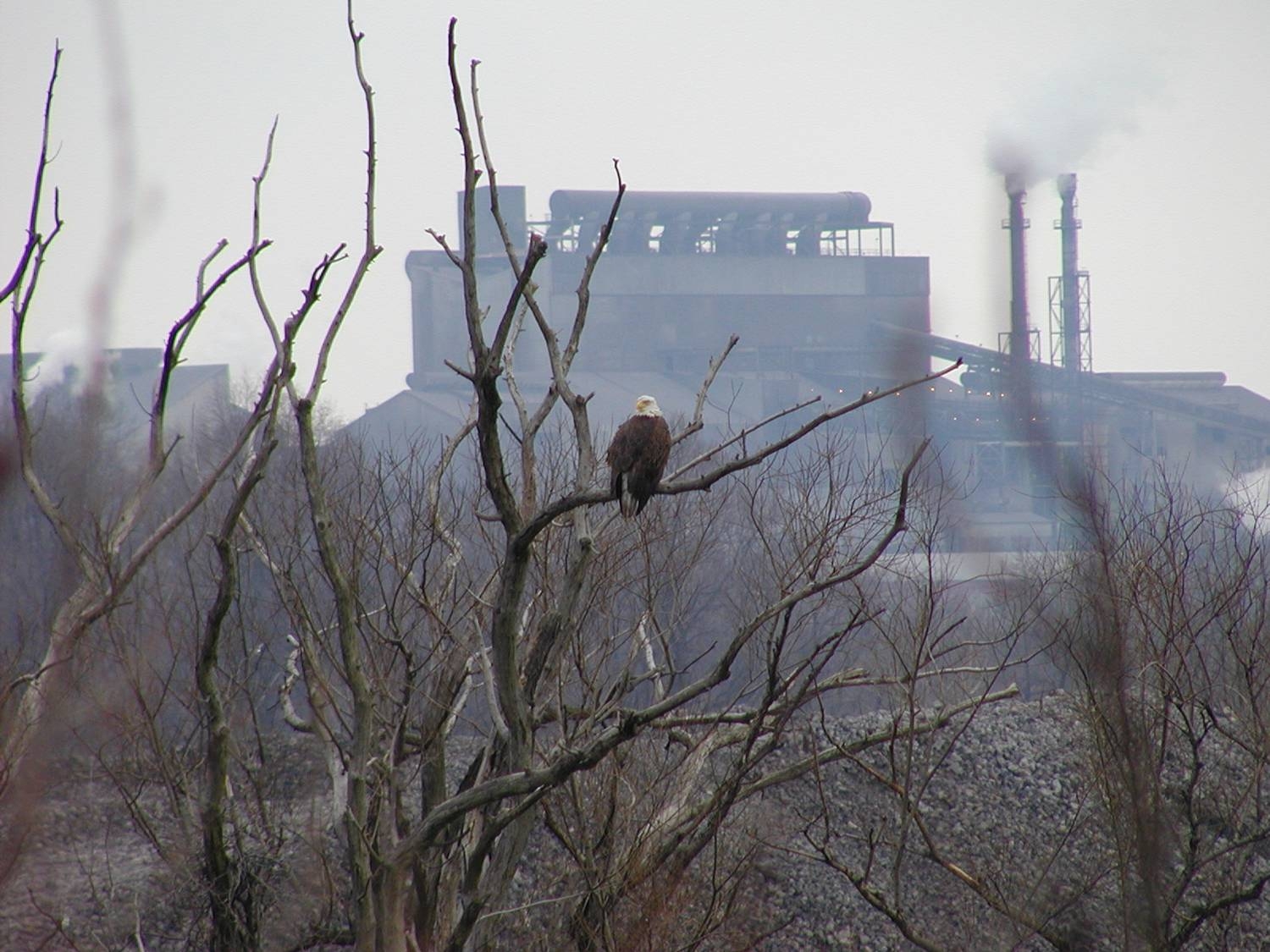
Wildlife in the reservation is rich and varied as well, including beaver, eagle, wood duck, various songbirds and more recently as the meadows return, meadowlark and eastern bluebird.
HISTORY
A Changing Landscape
Although Native Americans lived in the area just as they did around French Creek (see the French Creek Reservation for more details) most of the European settler's history in the Black River Reservation took place in the Day's Dam area. The Day family came here in 1816, the same year as the Burrells, and began farming the area west of the Black River (the Burrell farm was on the east side.) The Days eventually dammed the river to power a gristmill and very likely a sawmill as well. The site of the dam lay just south of the Day's Dam Bridgeway Trail entrance, marked by a short stone wall. Much of the surrounding area just south of this point had been under water until the dam came down, probably around the turn of the century.
Much of the landscape, population and economy of the area changed when the Johnson Steel Rail company came here in 1894 (soon to become the National Tube Company after it was purchased by US Steel.) Since the City of Lorain was quite small at that time, Elyria was the nearest town large enough to house the many people needed to work the mill. Because of the distance, the National Tube Company built a streetcar line to transport workers back and forth. The line ran in part along 31st street, and the original trestle supports can still be seen from the south side of the 31st Street bridge and the overlook at Day's Dam.
Eventually the Day's Dam area fell into disuse until it was given to the Lorain County Metro Parks by the City of Lorain. The Black River Reservation as a whole was opened to the public in 1994, an accomplishment highlighted by the fact that it joins the communities of Elyria and Lorain.
Hours
8 a.m.-Sunset
Daily
Contact
(440) 458-5121 (Administrative Office)
For shelter rentals, please contact the administrative offices.