

County Line Rd. to Downtown Elyria
Hours: 8 a.m.-Sunset (?), Daily
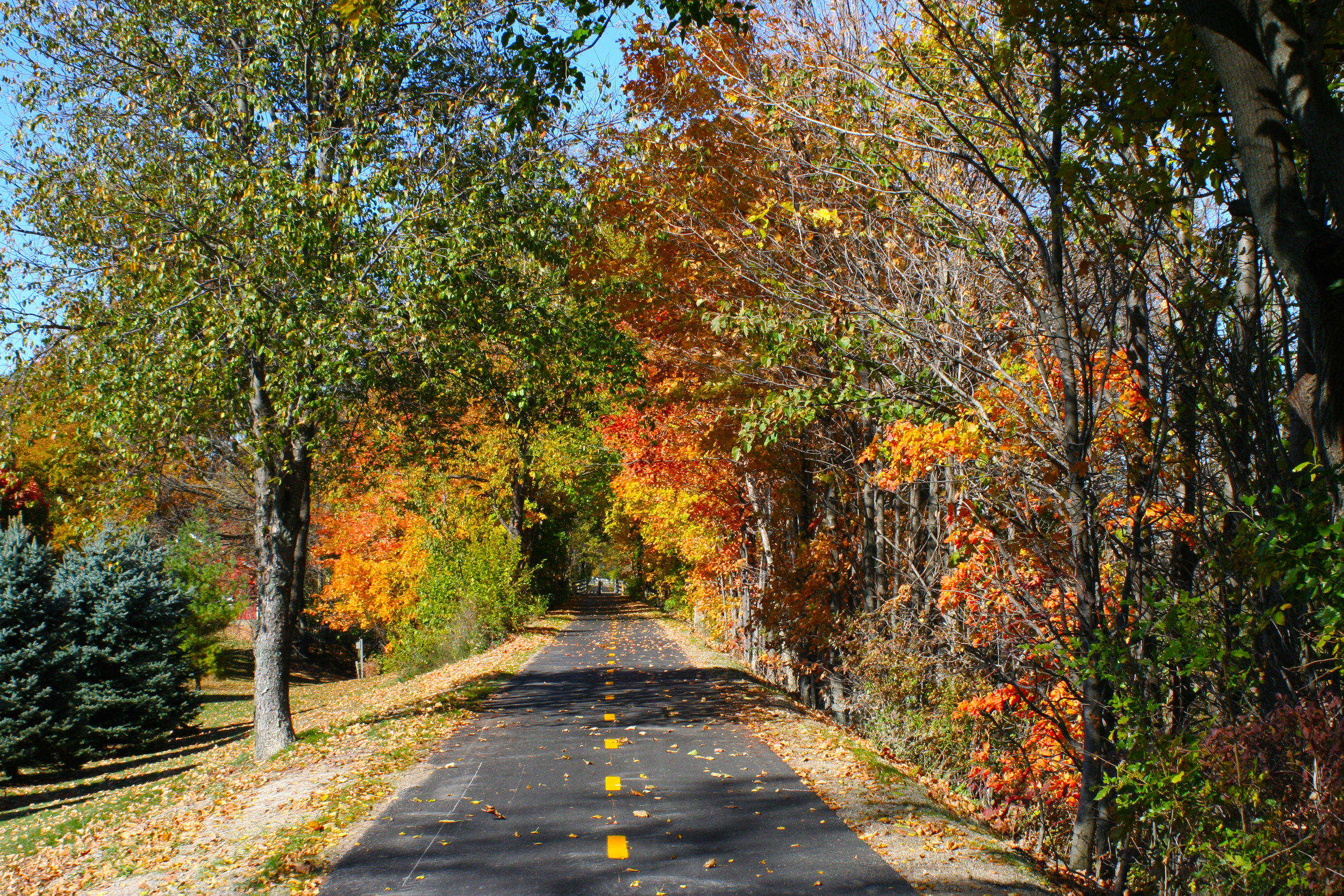
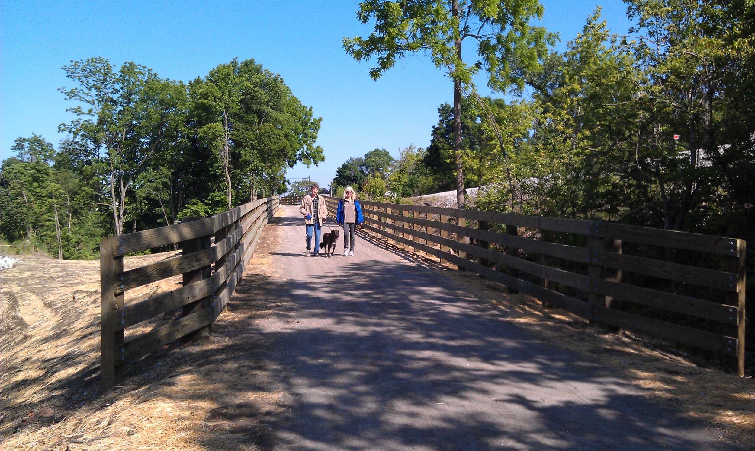
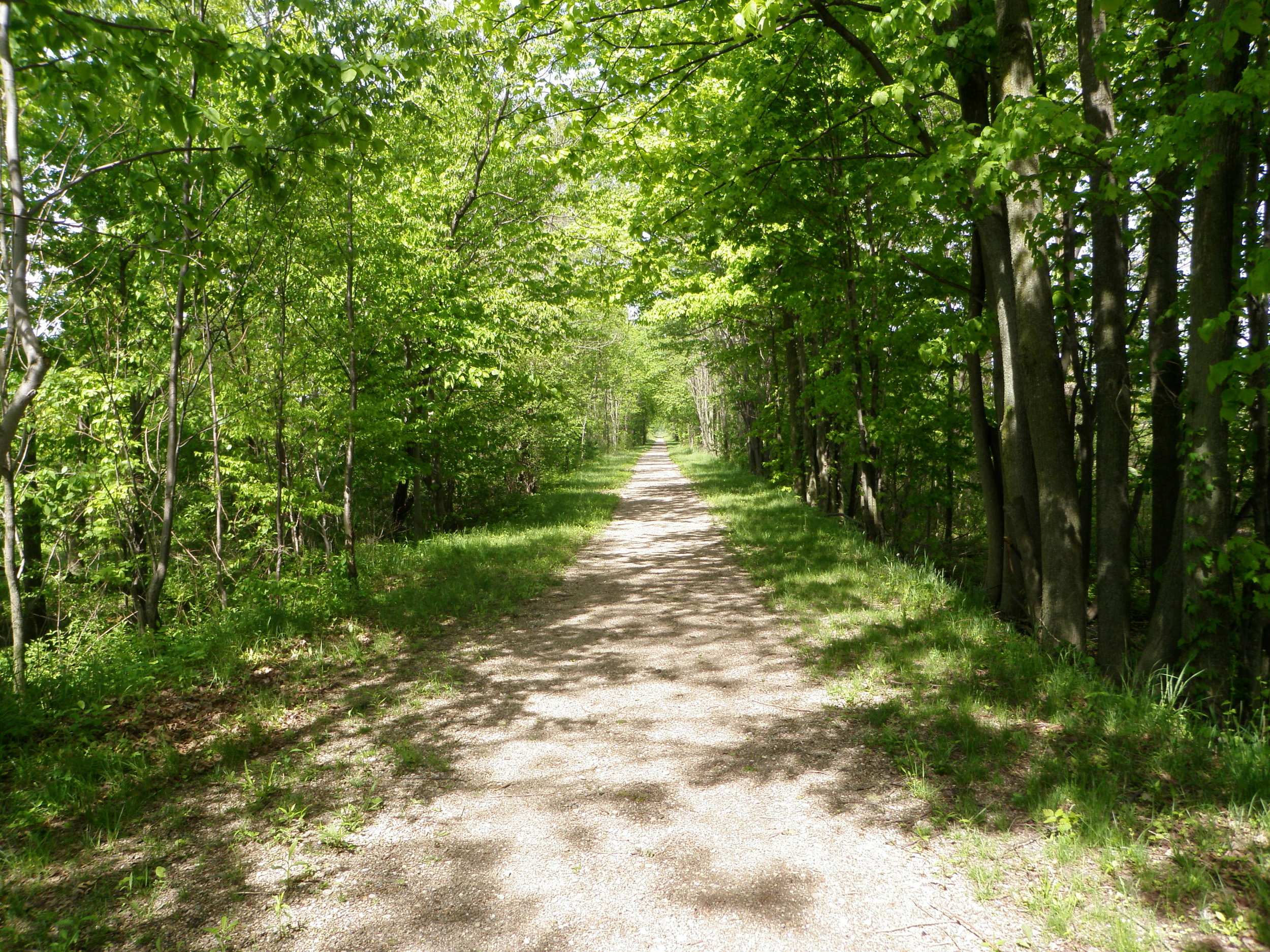
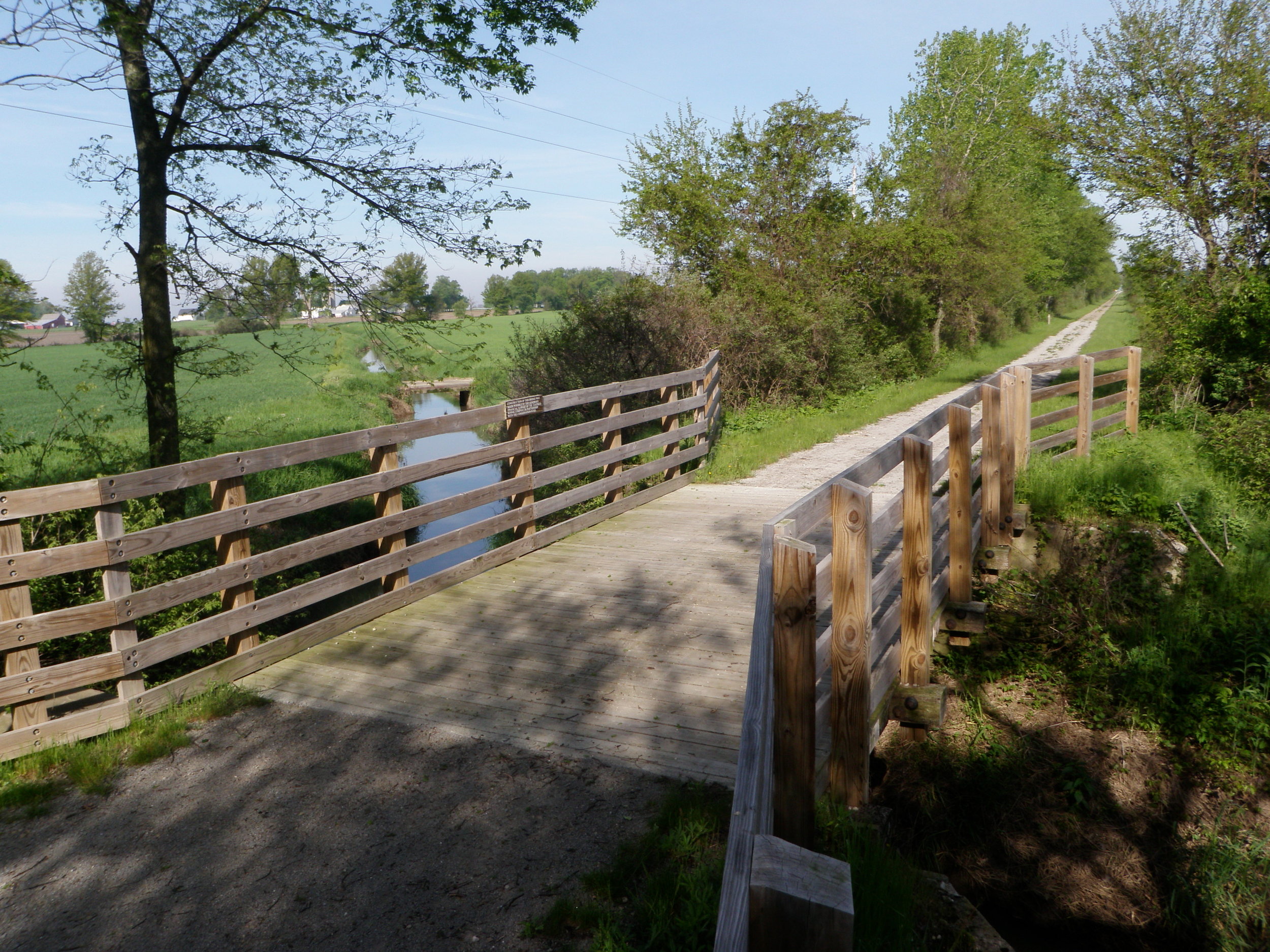
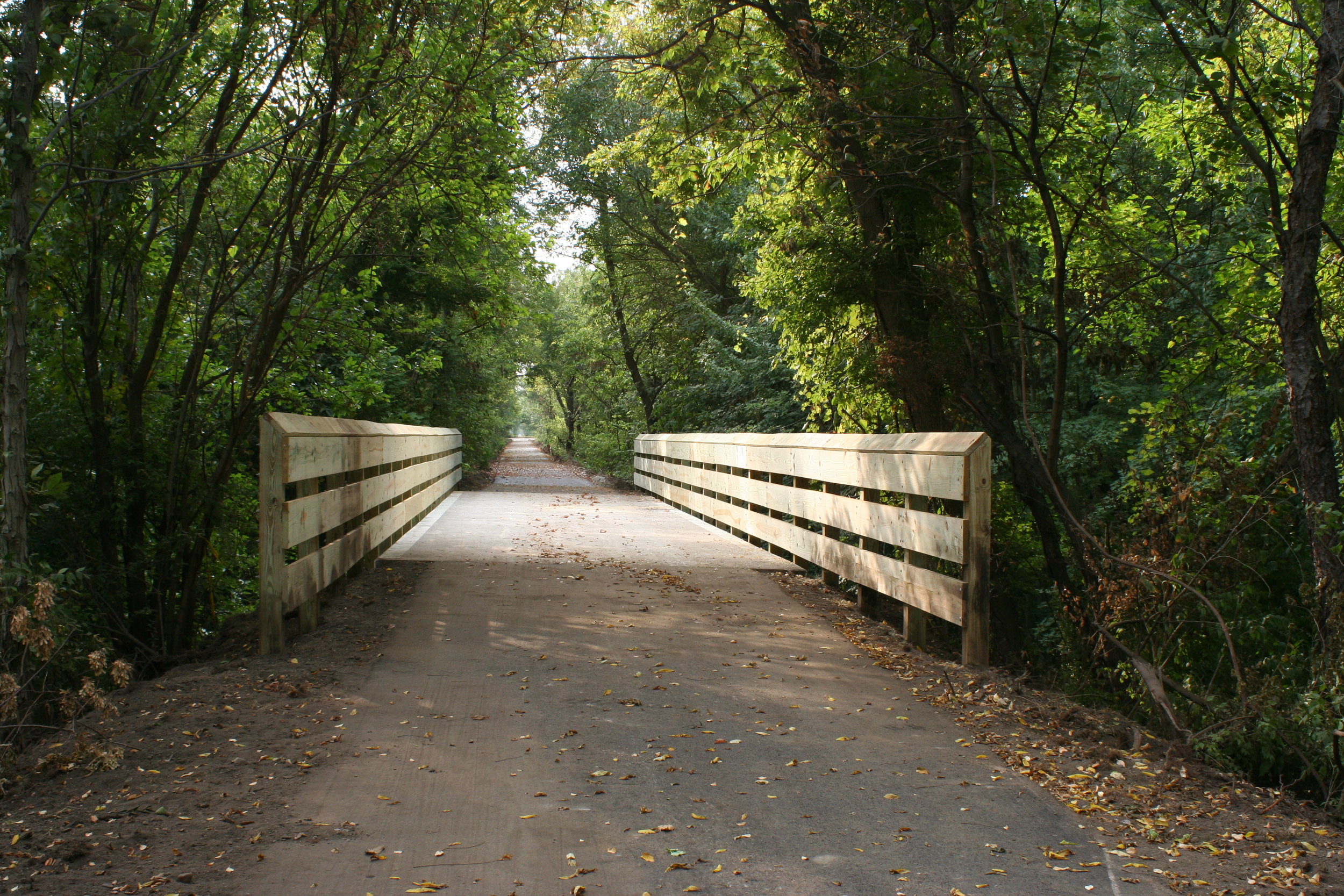
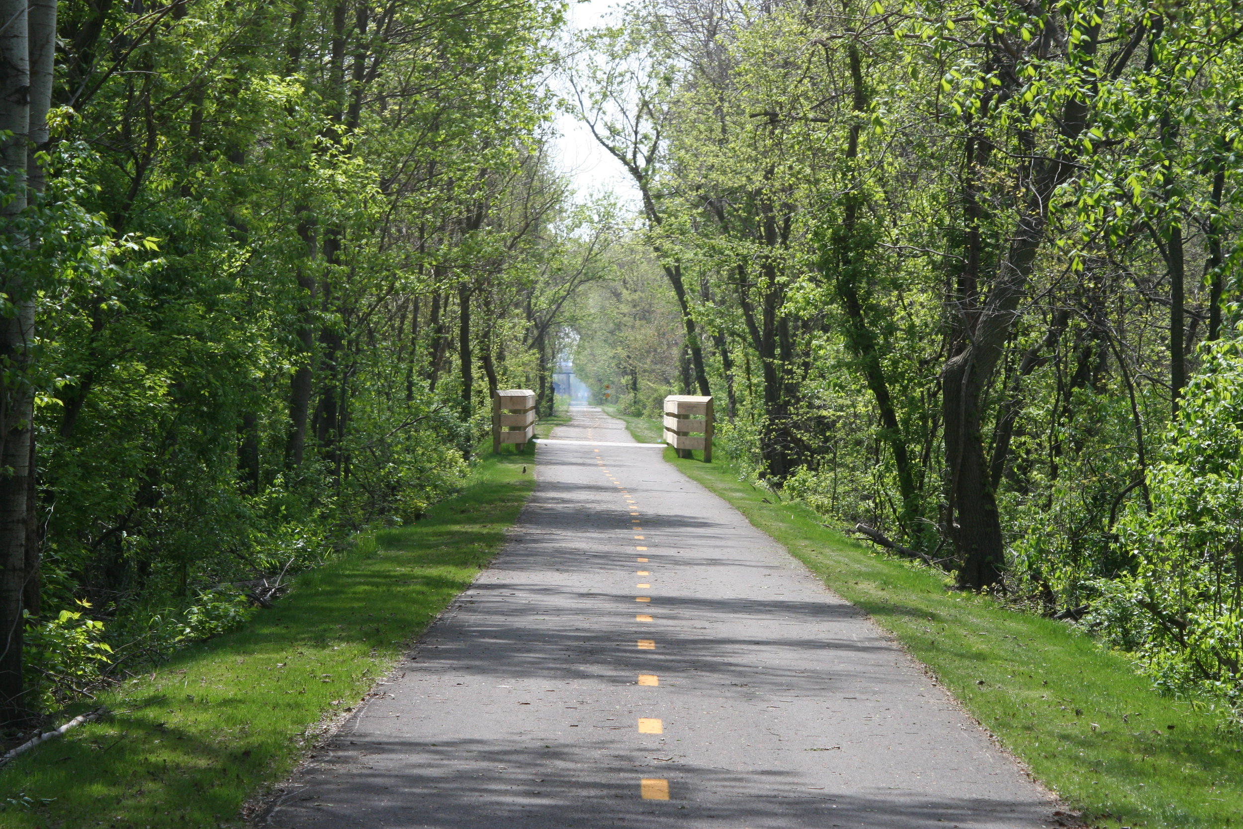
The North Coast Inland Trail, known as the skinniest park in the district, is a more than 29-mile trail connecting Lake Erie to the rural fields of western Lorain County through the bustling streets of Elyria and Lorain. Several access points are available along the trail.
Notable Bike Trail Access Points in Lorain County (North East to South West):
MILE 0.0: Lakeside Landing, 401 Lakeside Ave., Lorain, OH 44052**
MILE 1.1: Century Park, 1955 East Erie Ave., Lorain, OH 44052
MILE 6.4: Black River Reservation (Day’s Dam Picnic Area), 2720 East 31st St., Lorain, OH 44055
MILE 9: Black River Reservation (Bur Oak Picnic Area), 6150 Ford Rd., Elyria, OH 44035
MILE 10: Black River Reservation (High Meadows Picnic Area), 1750 Ford Rd., Elyria, OH 44035
MILE 12.5: Cascade Park, 387 Furnace St., Elyria, OH 44035
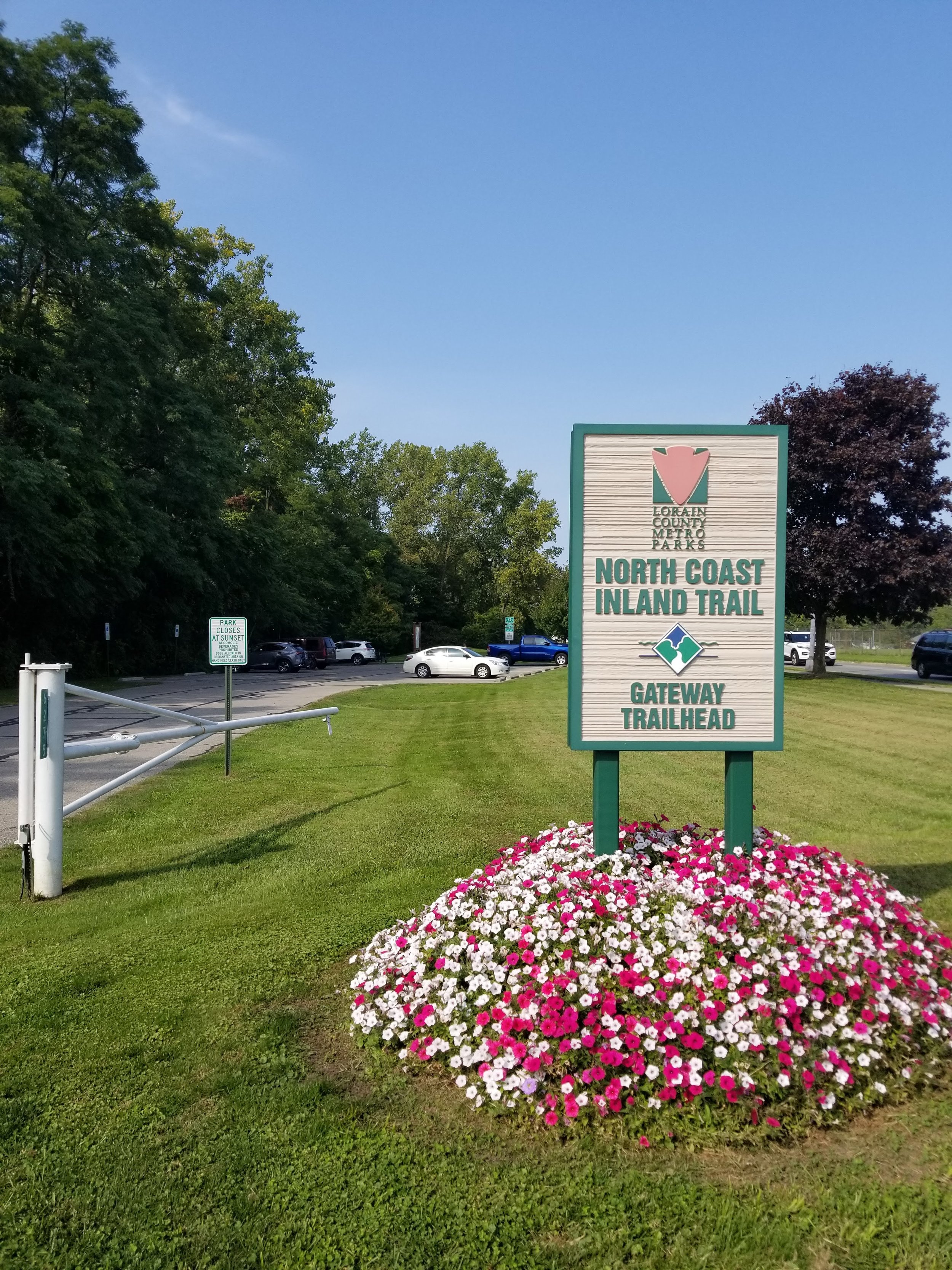
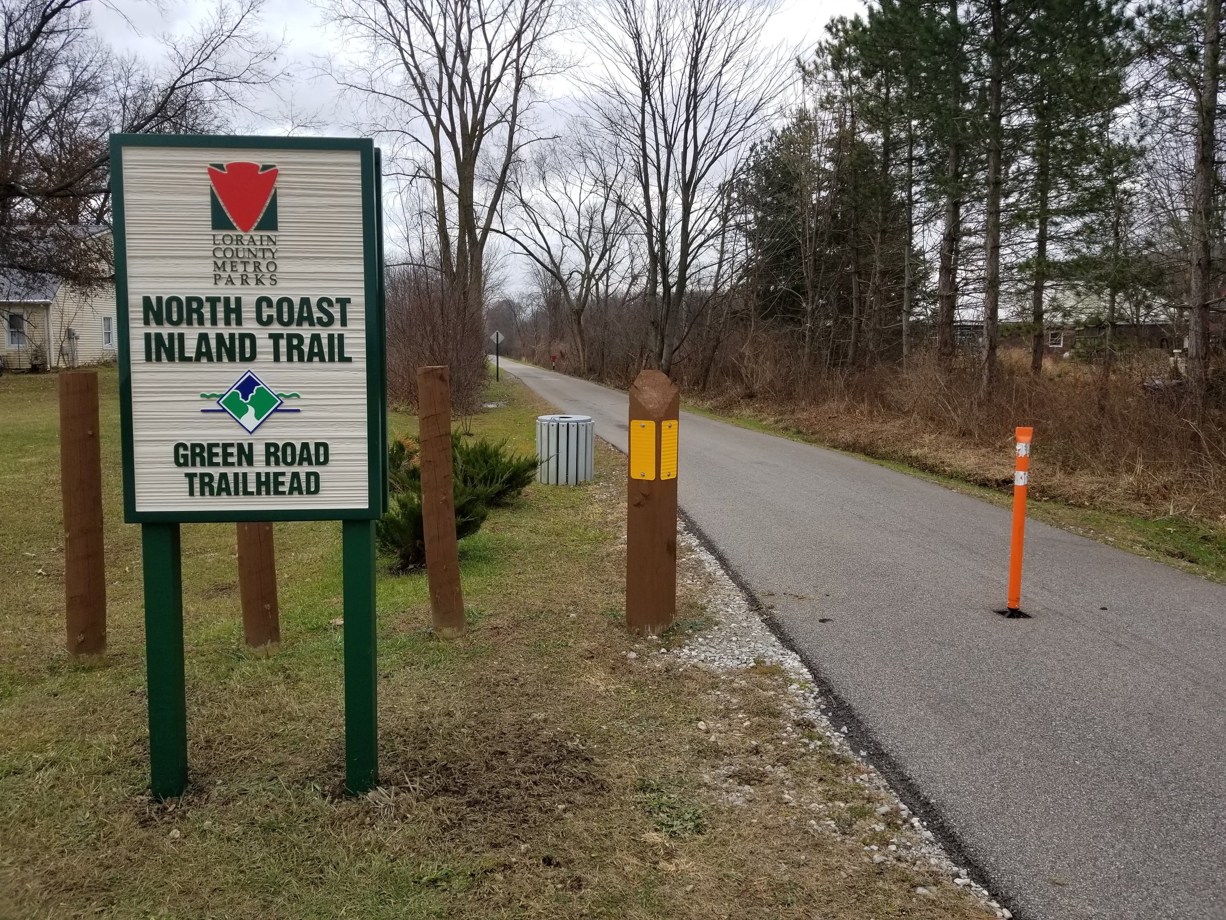
MILE 14.3: Gateway Trailhead, 6302 Gateway Blvd., Elyria, OH 44035
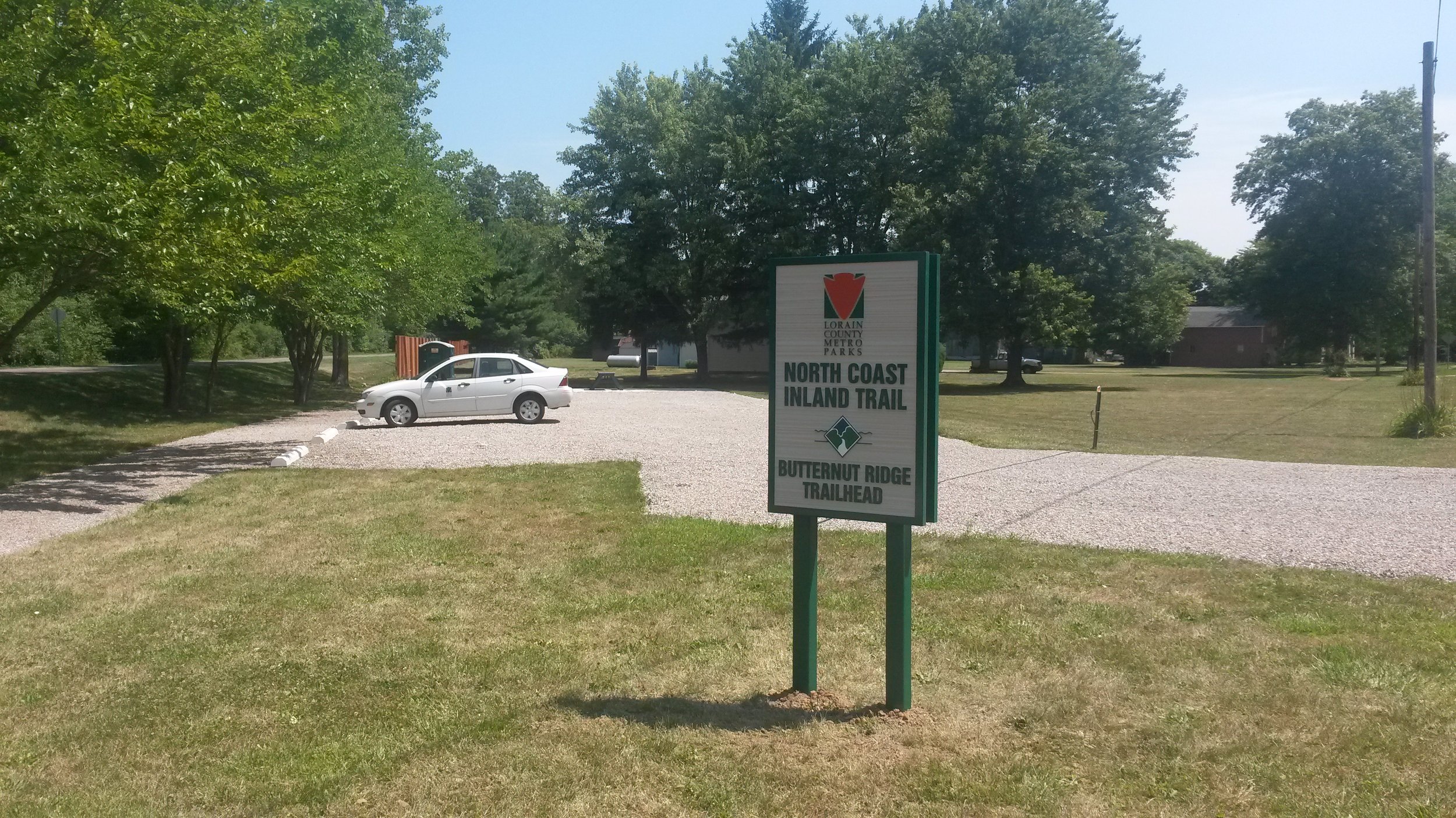
MILE 19.7: Butternut Ridge Trailhead, 44342 Butternut Ridge Rd., Oberlin, OH 44074
MILE 22.5: Access to the NCIT is available near 265 South Main St., Oberlin, OH 44074**
MILE 27: Access to the NCIT is available near the Kipton Community Park, 57 Rosa St., Kipton, OH 44049**
**PLEASE NOTE: These locations are not owned by the Lorain County Metro Parks, thus visitors should park at their own risk.
HIGHLIGHTS
The Skinniest Park in Lorain County
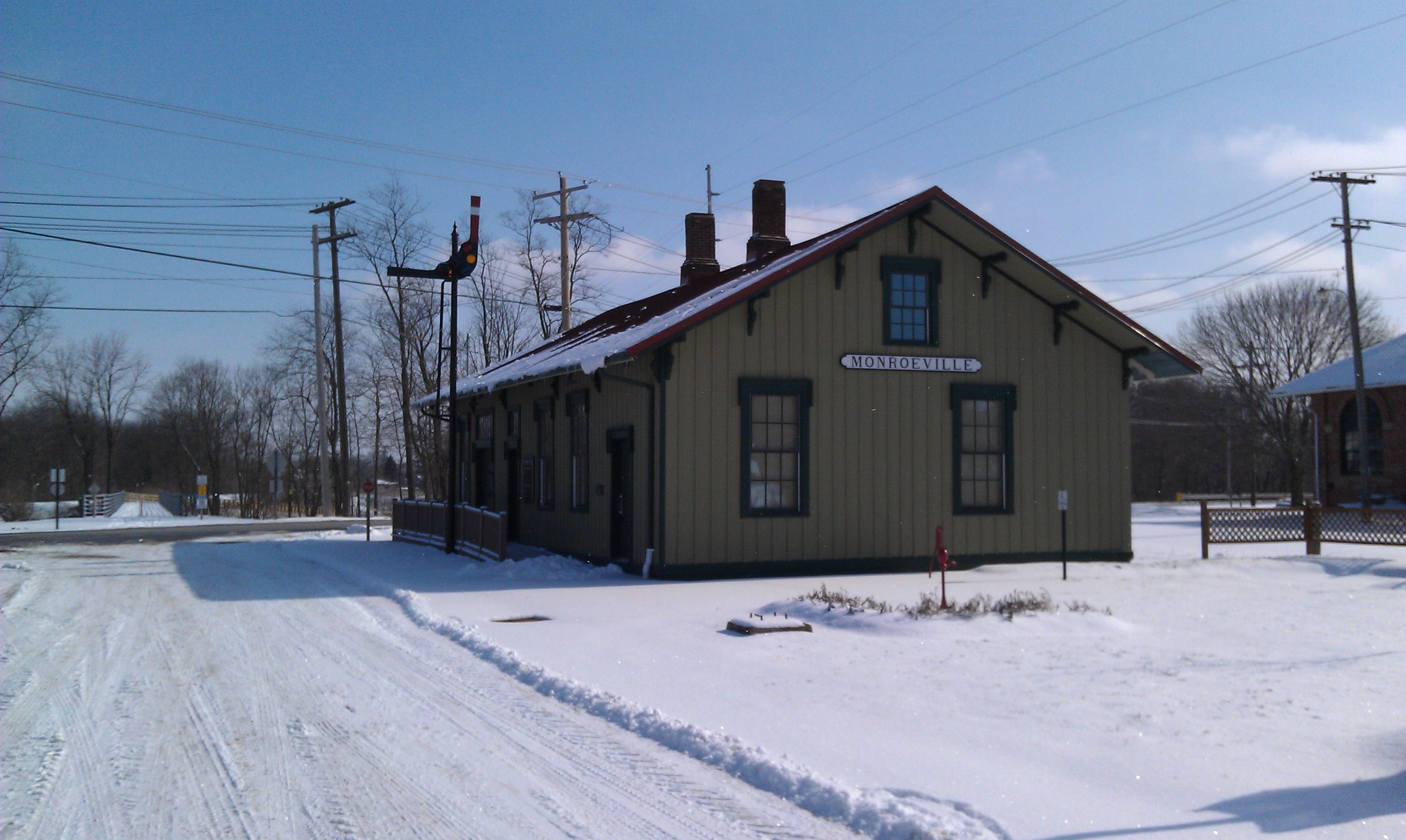
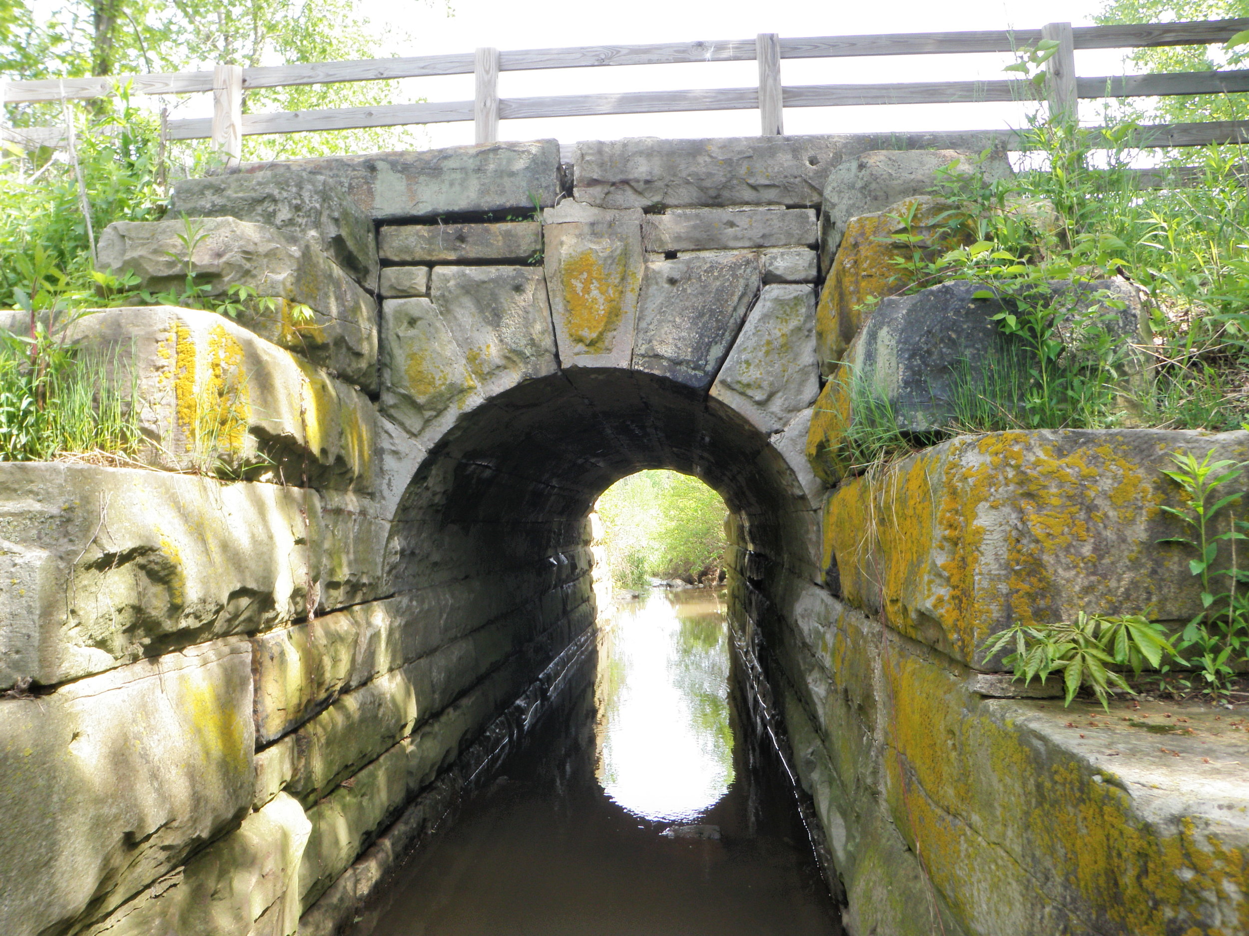
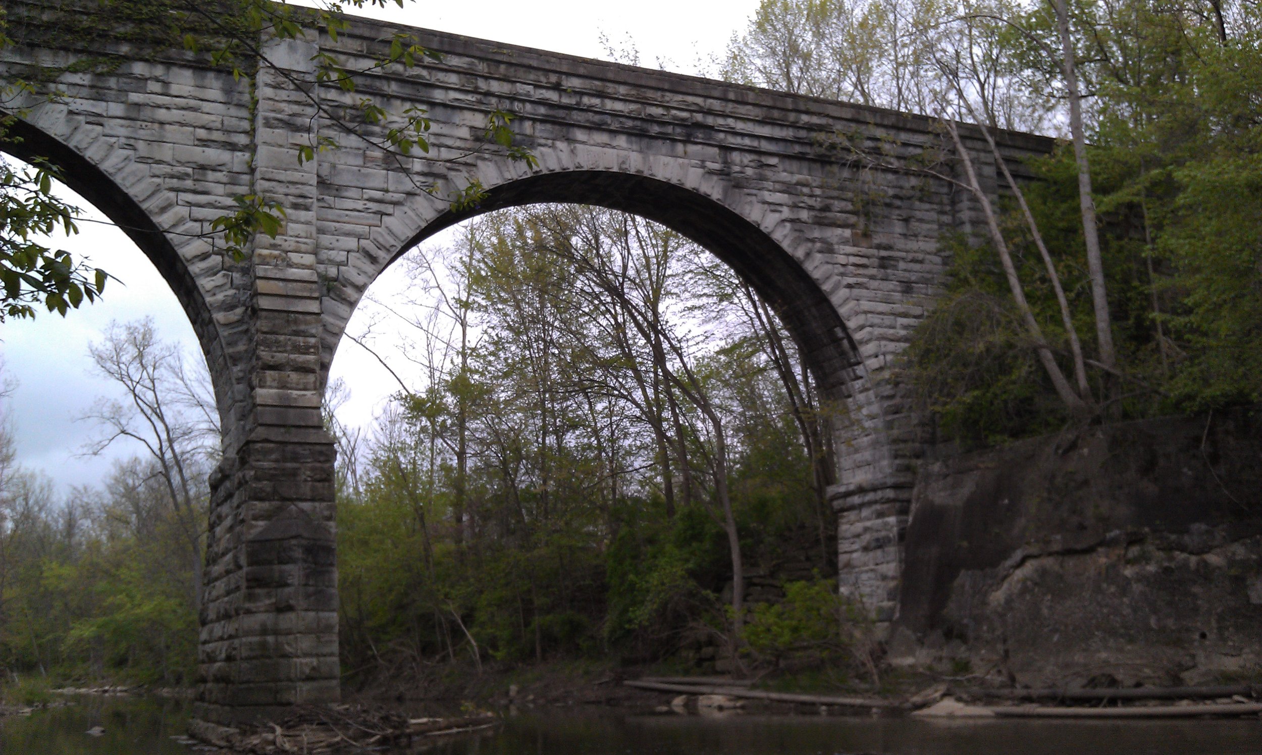
The North Coast Inland Trail (NCIT) was created in 1992 when seven park districts agreed to develop a system connecting trails in northwest Ohio. On August 15, 1998 the Lorain County Metro Parks opened a section of the trail measuring 148 acres.
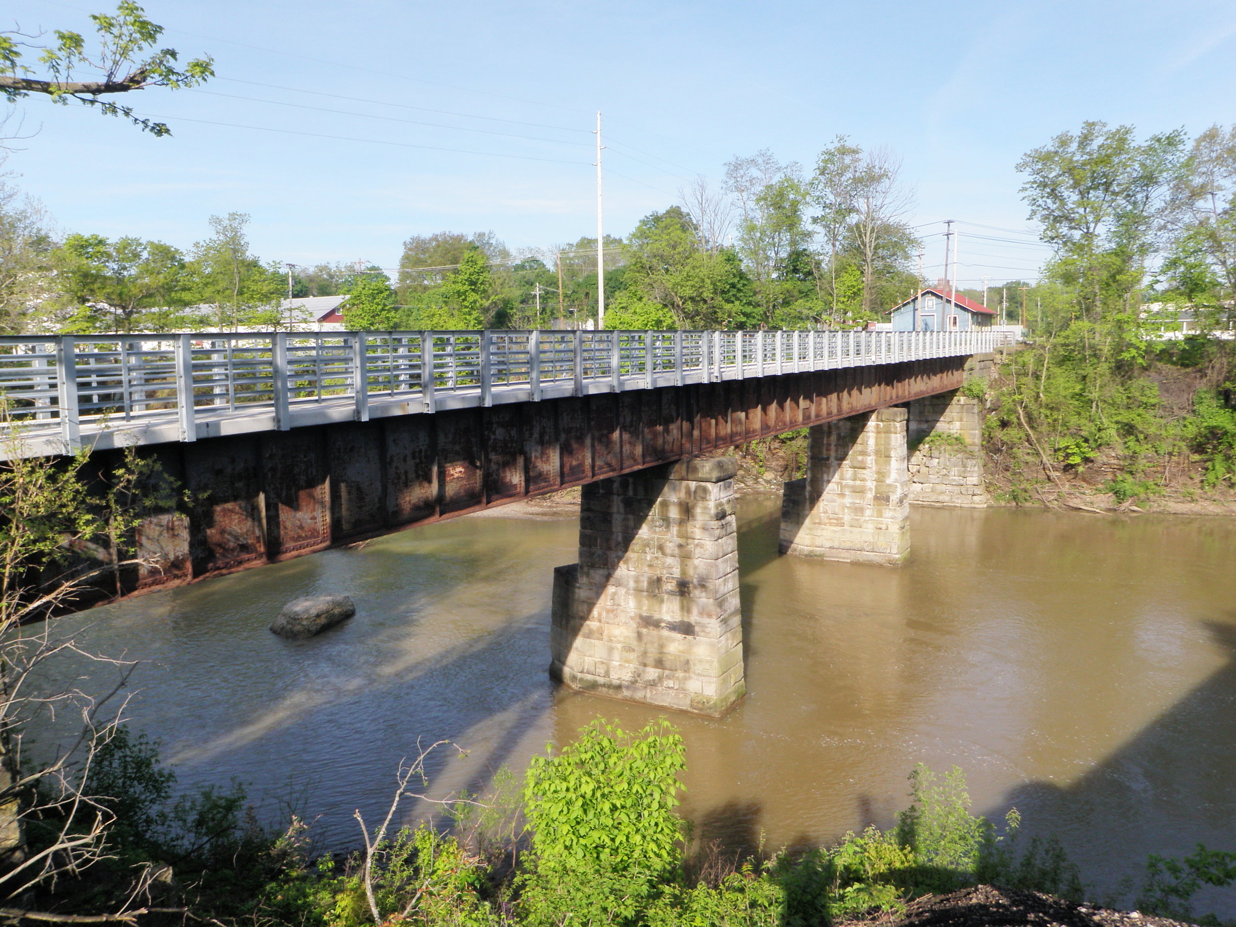
The majority of the NCIT is a 12-foot-wide paved trail built over an abandoned Toledo, Norwalk, and Cleveland Railroad line. The NCIT runs for 65 miles from Lorain to Toledo with some sections still being built. The Lorain County Metro Parks’ portion runs from Lake Erie in Lorain to the county line in Wakeman.
HISTORY
The Toledo, Norwalk, and Cleveland Railroad
The Toledo, Norwalk, and Cleveland Railroad was constructed in 1851 and served as a vital link between Chicago and Cleveland. This rail line lead to the founding of several small villages including Kipton. In 1866, the Lake Shore and Michigan Southern Railroad built a line from Elyria to Oberlin which then continued west using the Toledo, Norwalk, and Cleveland Railway.
These railways allowed for the expansion of businesses, agricultural interests, and several cities along its route including Oberlin and Elyria. The railroad hauled freight, lumber, coal, produce and passengers to and from the rich farmlands of this region until its abandonment in 1975.

The Great Kipton Train Wreck
On April 23, 1891, two trains collided head-on just fifty feet east of the Kipton depot, killing eight people.
The collision was blamed on the station engineer’s watch being slow causing him to miscalculate when to move one of the trains on to a side track. The accident resulted in new regulations for time tracking and the creation of a quality timekeeper: the Ball Railroad Watch.
PARK RULES AND REGULATIONS
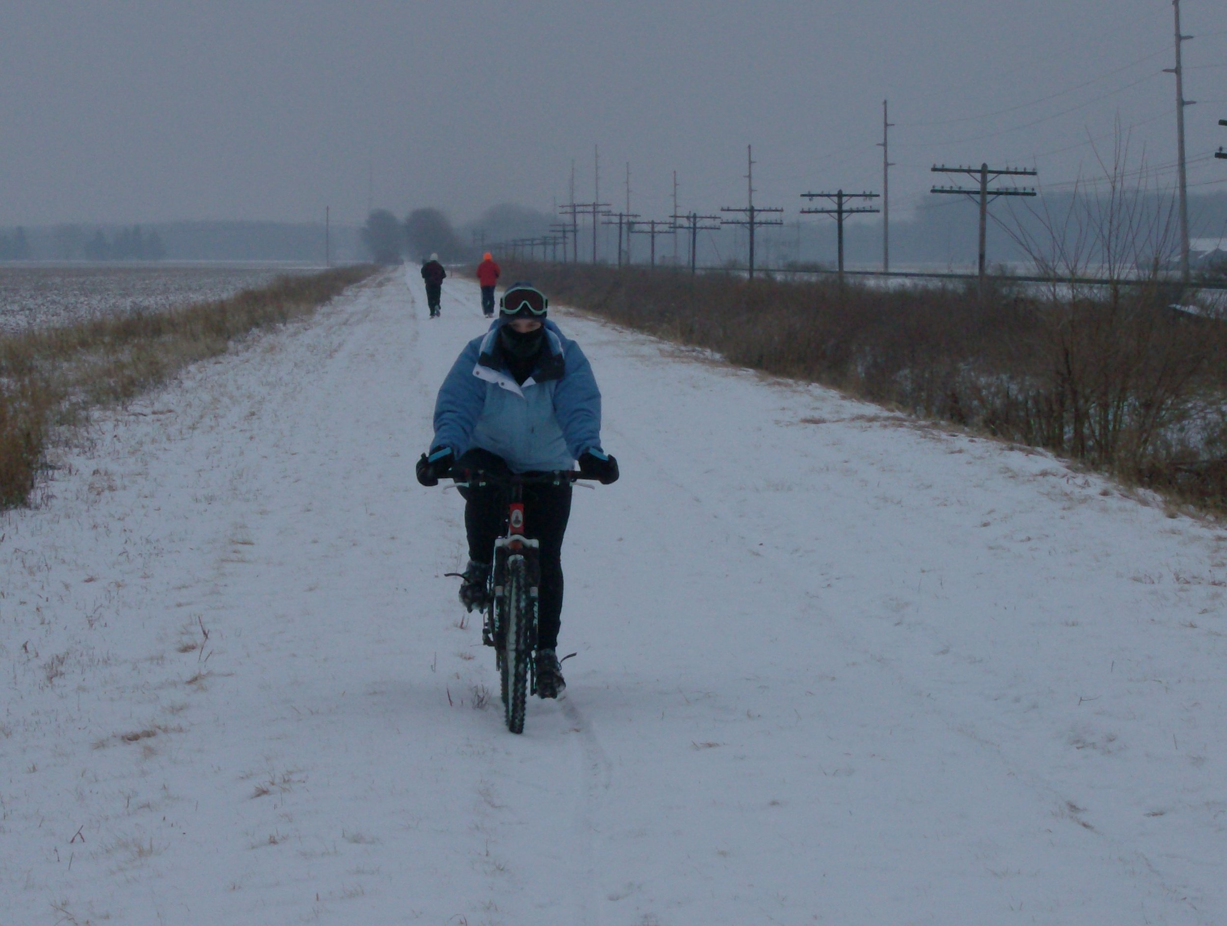
Please wear a helmet when biking or skating!
No alcoholic beverages are permitted.
Please stay on the trail. Land adjacent to the trail is private property and is not available for public use.
Non-motorized vehicles only. (No skateboards, snowmobiles, or equestrian traffic.) Class 1 and 2 e-bikes are permitted. Users may encounter park district vehicles on the trail. If any other vehicles are encountered, please notify the park immediately.
Due to natural conditions, the trail may be closed without notice.
Dogs are only permitted on a hand-held leash no longer than 6 feet. You are expected to clean up after your pets.
Normal rules of the road apply. Pedestrians have the right-of-way. Users should keep to the right, riding no more than two abreast, and signal with an audible warning when passing, such as “passing to the left.” Users must be aware and obey all traffic and trail signs.
Please place trash in appropriate containers.
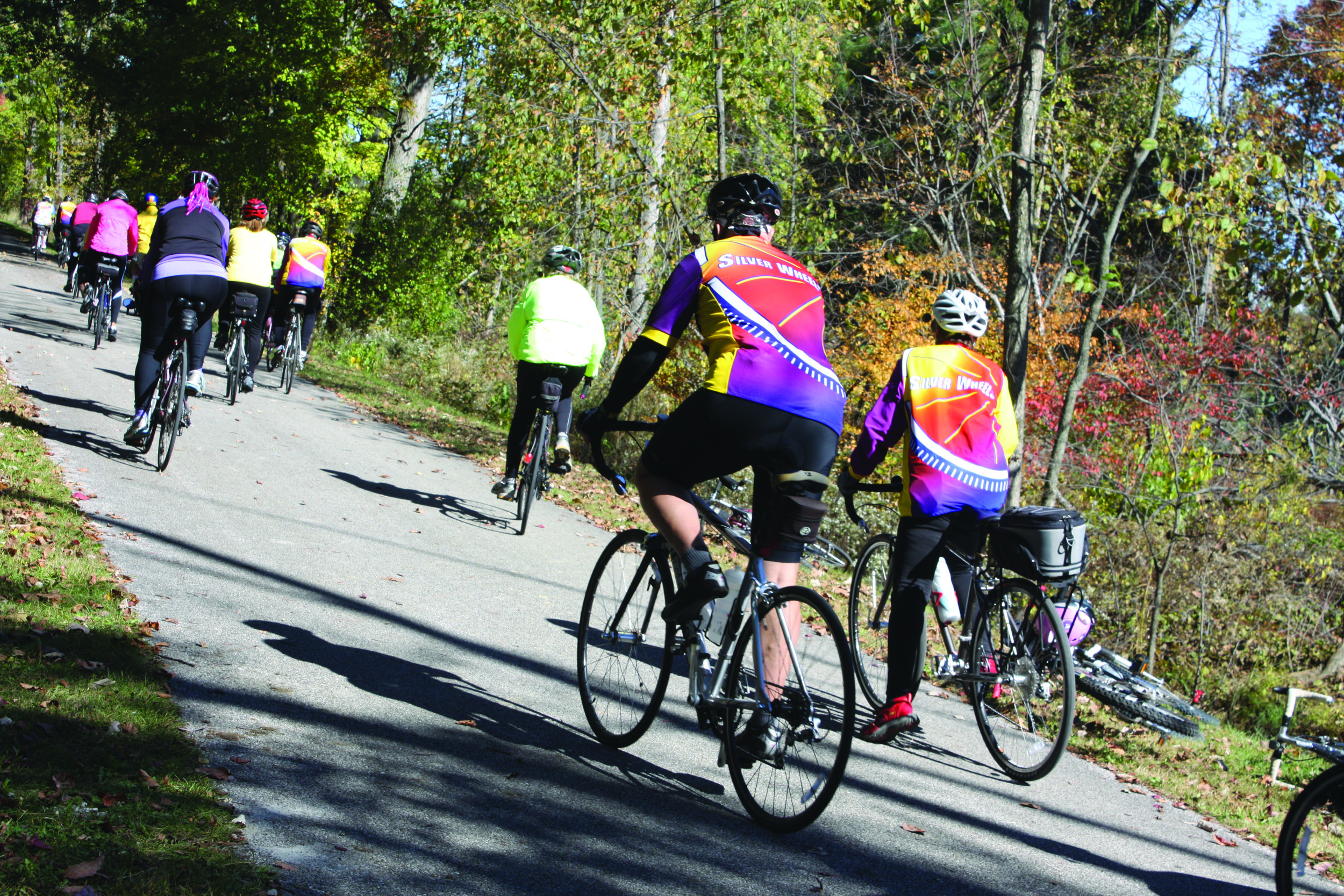
The Lorain County section of the North Coast Inland Trail is a multi-use facility. Users may expect to encounter bicyclists, in-line skaters, walkers, runners, and wheelchairs. Use courtesy while sharing the trail.
Parking is permitted in designated areas only. Roadside parking is strictly prohibited.
Thank you for your consideration
INTERSECTIONS & DISTANCES
Below are two lists of points and distances where the North Coast Inland trail intersects with a roadway. These two lists are the same, except that one list begins at the northeast end (Elyria) and travels southwest and the other begins at the southwest end (Kipton) and travels northeast. Between each listed roadway is a distance in miles and this represents the amount of distance along the trail between the two roadways.
Northeast End (Elyria)
Traveling southwest
Gateway Trailhead (includes bicycle repair station and picnic table)
1.12 miles
Murray Ridge Rd.
0.15 mile
Albrecht Rd.
0.96 mile
West Ridge Rd.
0.4 mile
Russia Rd.
2.26 miles
Butternut Ridge Rd. (includes bicycle repair station, restrooms, and picnic tables)
1.09 miles
Oberlin Rd.
0.35 mile
East Lorain St. (St. Rt. 511)
0.22 mile
East College St.
0.44 mile
Spring St.
0.22 mile
South Park St.
0.13 mile
South Pleasant St.
0.13 mile
South Main St.
0.16 mile
South Professor St.
1.07 miles
Pyle-South Amherst Rd.
0.33 mile
Hamilton St.
0.77 mile
Quarry Rd.
0.79 mile
Baumhart Rd.
0.81 mile
Gifford Rd.
0.72 mile
State Route 511
0.23 mile
West St.
0.55 mile
Baird Rd.
0.6 mile
Gore Orphanage Rd.
0.64 mile
County Line Rd.
Southwest End (Kipton)
Traveling northeast
County Line Rd.
0.64 miles
Gore Orphanage Rd.
0.6 mile
Baird Rd.
0.55 mile
West St.
0.23 mile
State Route 511
0.72 mile
Gifford Rd.
0.81 mile
Baumhart Rd.
0.79 mile
Quarry Rd.
0.77 mile
Hamilton St.
0.33 mile
Pyle-South Amherst Rd.
1.07 miles
South Professor St.
0.16 mile
South Main St.
0.13 mile
South Pleasant St.
0.13 mile
South Park St.
0.22 mile
Spring St.
0.44 mile
East College St.
0.22 mile
East Lorain St. (St. Rt. 511)
0.35 mile
Oberlin Rd.
1.09 miles
Butternut Ridge Rd. (includes bicycle repair station, restrooms, and picnic tables)
2.26 miles
Russia Rd.
0.4 mile
West Ridge Rd.
0.96 mile
Albrecht Rd.
0.15 mile
Murray Ridge Rd.
1.12 mile
Gateway Trailhead (includes bicycle repair station and picnic table)
Locations
(Northeastern most point)
Gateway Trailhead
6302 Gateway Blvd.
Elyria, OH 44035
(Southwestern most point)
County Line Rd.
Wakeman, OH 44889**
Hours
8 a.m.-Sunset
Daily
Contact
(440) 774-7078